U.S. South – Lakes Rivers & Coastal Marine Charts | Navionics Platinum+™ | NPUS006R | microSD™/SD™

Product code:010-C1369-40

Detailed coverage of the lakes, rivers and coasts of Alabama, Arkansas, Florida, Georgia, Kansas, Louisiana, Mississippi, Missouri, Nebraska, New Mexico, Oklahoma, Tennessee, and Texas. Coastal coverage of the Gulf of Mexico, the Atlantic coasts of Florida and Georgia, the Bahamas and the Florida Keys are also included.

INTEGRATED MAPPING FOR A WIDE RANGE OF CHARTPLOTTERS

A comprehensive, all-in-one solution, Navionics+ charts and maps combine clear, reliable coastal/inland content with advanced guidance features and compatibility with a wide range of chartplotter brands.

£239.99

Description

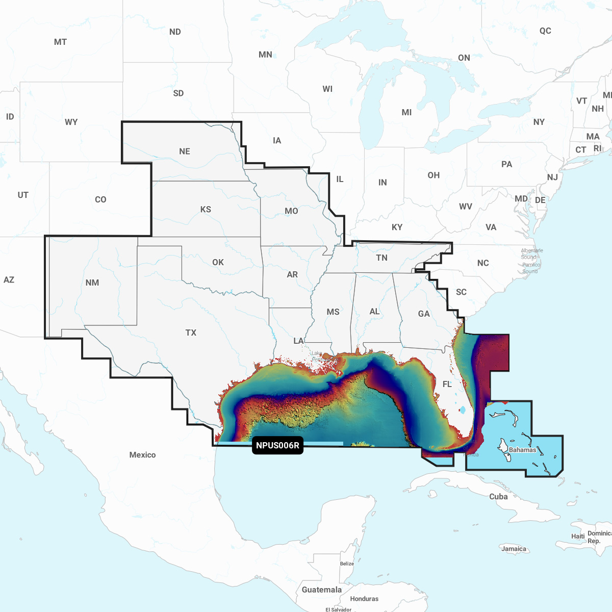
Navionics Platinum+™ – NPUS006R | microSD™/SD™

Check plotter compatibility

Detailed coverage of the lakes, rivers and coasts of Alabama, Arkansas, Florida, Georgia, Kansas, Louisiana, Mississippi, Missouri, Nebraska, New Mexico, Oklahoma, Tennessee, and Texas. Coastal coverage of the Gulf of Mexico, the Atlantic coasts of Florida and Georgia, the Bahamas and the Florida Keys are also included.