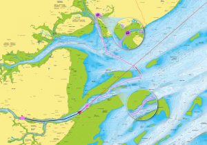
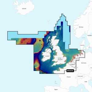
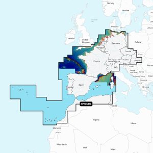
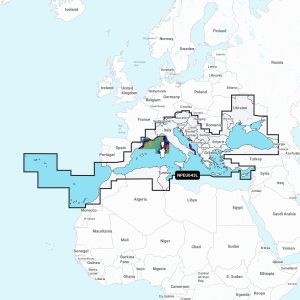
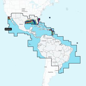
Navionics Platinum+™ charts include all the content of Navionics®+ cartography, with integrated offshore and inland mapping, 44,000+ lakes and additional viewing options for relief shading, satellite imagery with SonarChart shading overlay, 3D perspective view, aerial photos and more.
Navionics Platinum+ Overlays & Viewing options
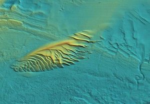
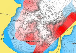
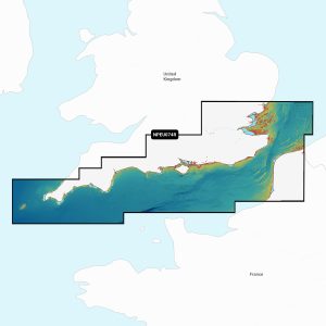
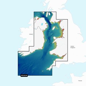
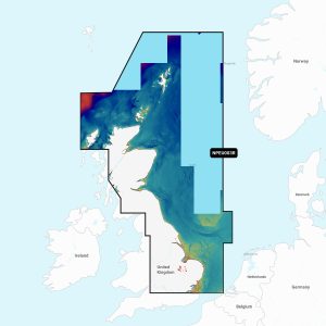
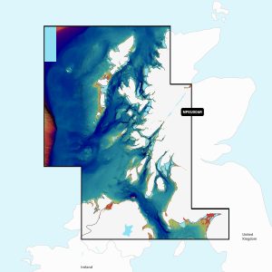
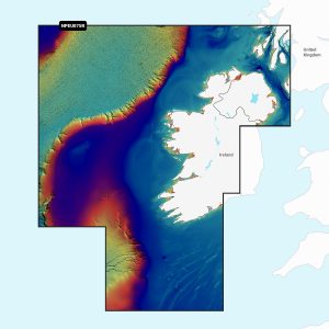
ReliefShading – delivers highly detailed shading that combines colour and shadow to provide an easy-to-interpret, clearer view of bottom structure than contour lines alone.
Satellite Overlay – offers a top-down view of inland and coastal areas.
Panoramic Photos – give a better sense of the surroundings so you can evaluate your options.
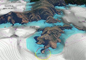
Dynamic 3D View – allows you to customize your chart to highlight key features for a better awareness of your surroundings.
Navionics Chart Features
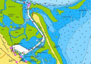
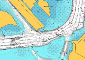
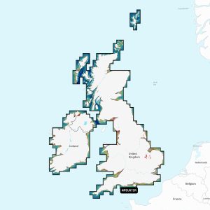
NAUTICAL CHART – go boating with comprehensive charts derived from multiple official, government and private sources, displayed in a familiar look and feel.
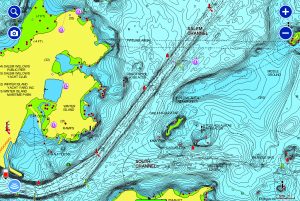
SONARCHART™ – understand depths and bottom detail with our innovative 1ft/0.5 m bathymetry charts created using Navionics proprietary systems that process sonar data contributed by boaters with existing content.
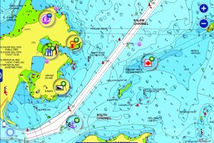
COMMUNITY EDITS – get useful local knowledge from fellow boaters in this crowdsourced content layer packed with points of interest, navigation aids and variety of edits made by users of our boating app.
Navionics Advanced Features
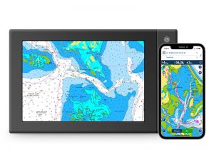
Plotter Sync – allows compatible chartplotter owners to transfer routes and markers, update chart layers and more — to and from the Boating app.
Dock to Dock Route Guidance – choose your destination by selecting a point of interest, entering a lat/long or by tapping on the map. Dock-to-dock Autorouting calculates a suggested route.
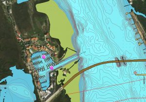
Advanced Map Options – change the way you view Navionics charts and focus on the details that matter most to you. Highlight shallow areas, adjust contour density & select a fishing range.
SonarChart Live – watch new 0,5 m personal HD bathymetry maps develop in real time as your boat moves along the water! It appears as an additional layer over your map, while it also gets stored on your device for future use.