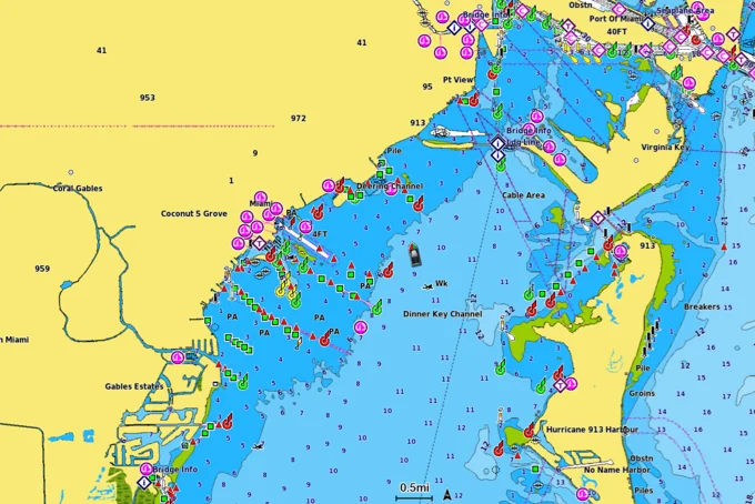
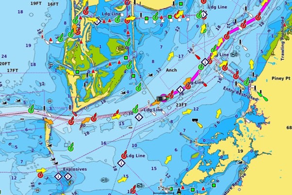
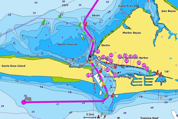
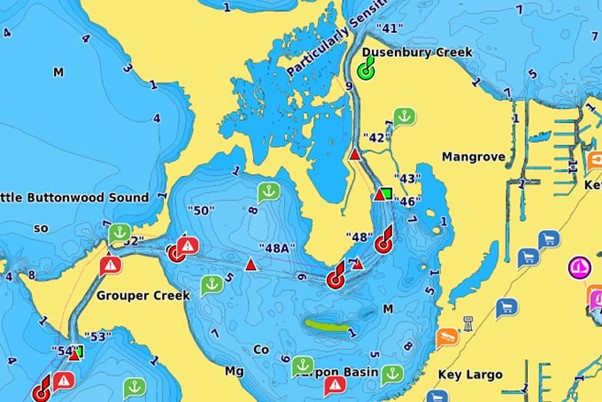
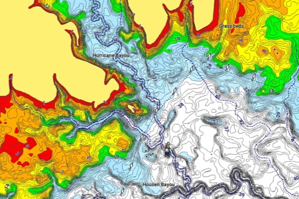
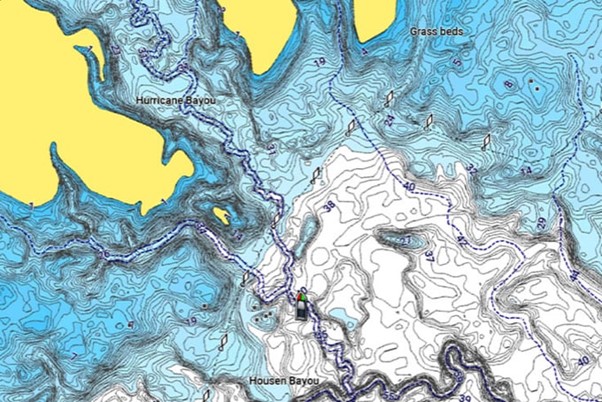
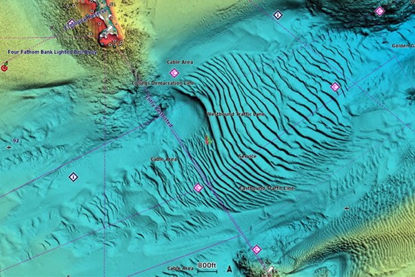
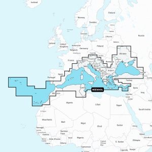
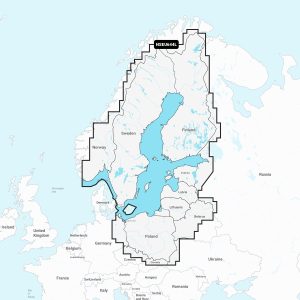
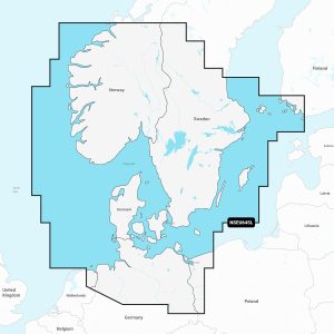
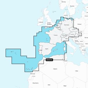
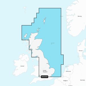
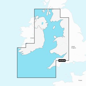
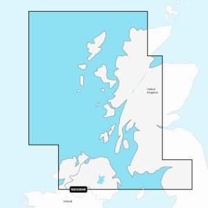
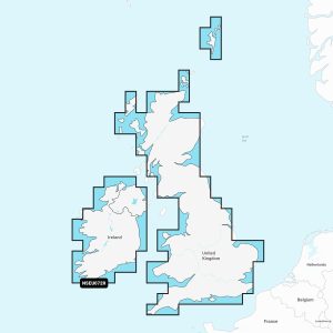
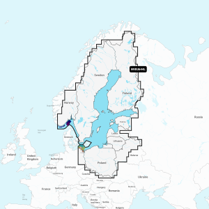
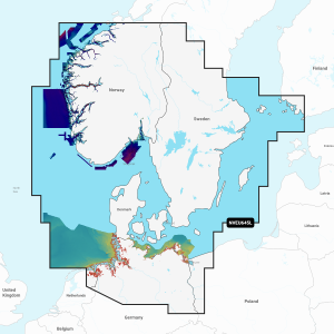
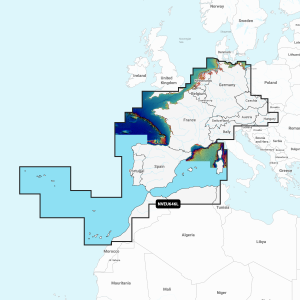
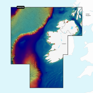
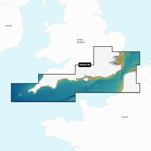
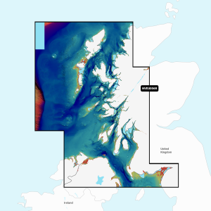
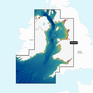
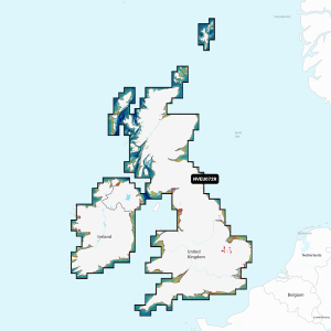
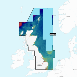
DETAILED NAUTICAL CHARTS
Navigate with our best offshore and inland lake coverage for your Garmin chartplotter with detail-rich mapping, an updated colour palette and integrated Garmin and Navionics content.
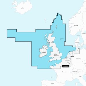
Included in Garmin Navionics+ and Garmin Navionics Vision+