
Description
Navionics Platinum+™ – NPUS005R | microSD™/SD™
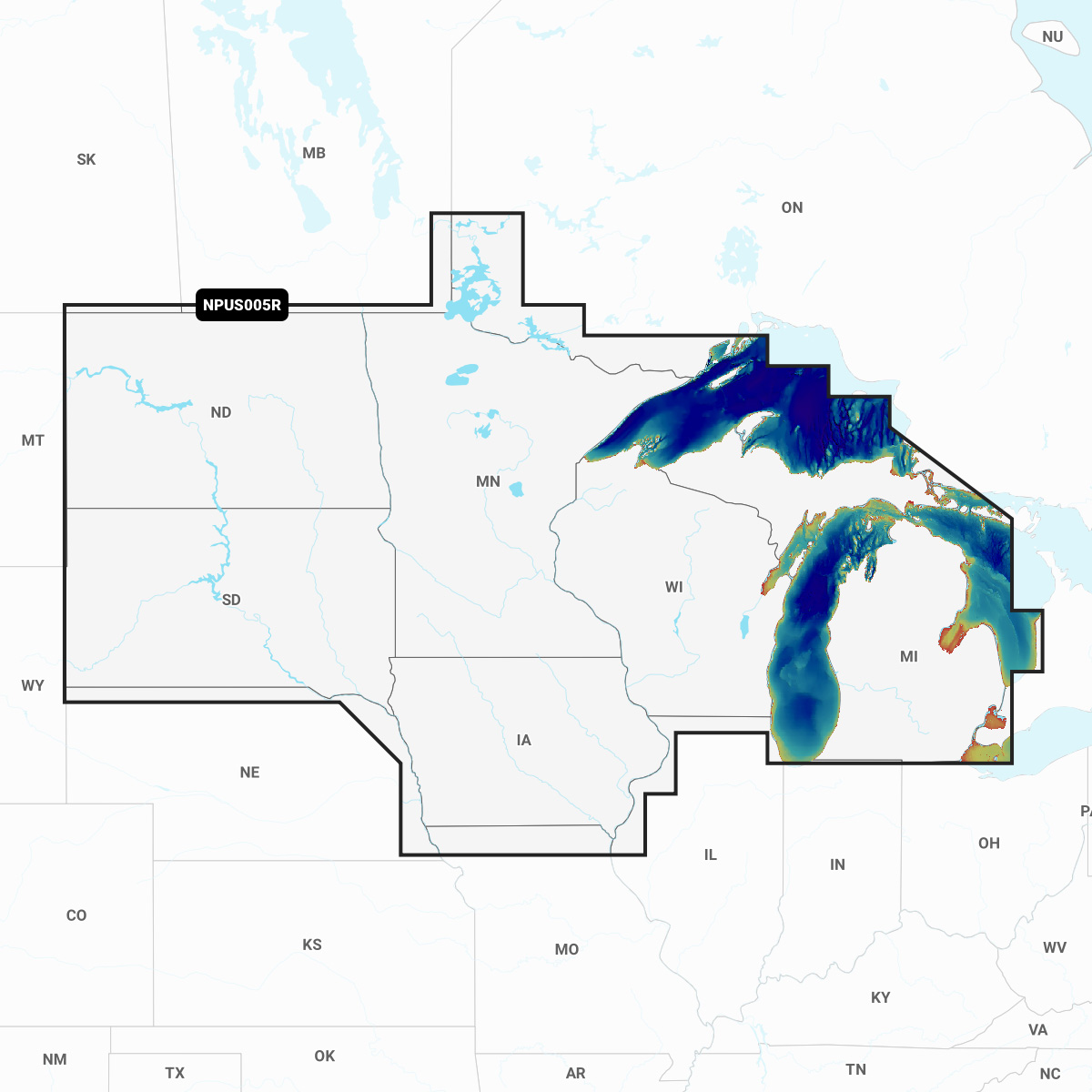
Detailed coverage of the lakes and rivers of Iowa, Michigan, Minnesota, North Dakota, South Dakota, Wisconsin, all the Great Lakes and Lake of the Woods.
INTEGRATED MAPPING FOR A WIDE RANGE OF CHARTPLOTTERS
A comprehensive, all-in-one solution, Navionics+ charts and maps combine clear, reliable coastal/inland content with advanced guidance features and compatibility with a wide range of chartplotter brands.