
Description
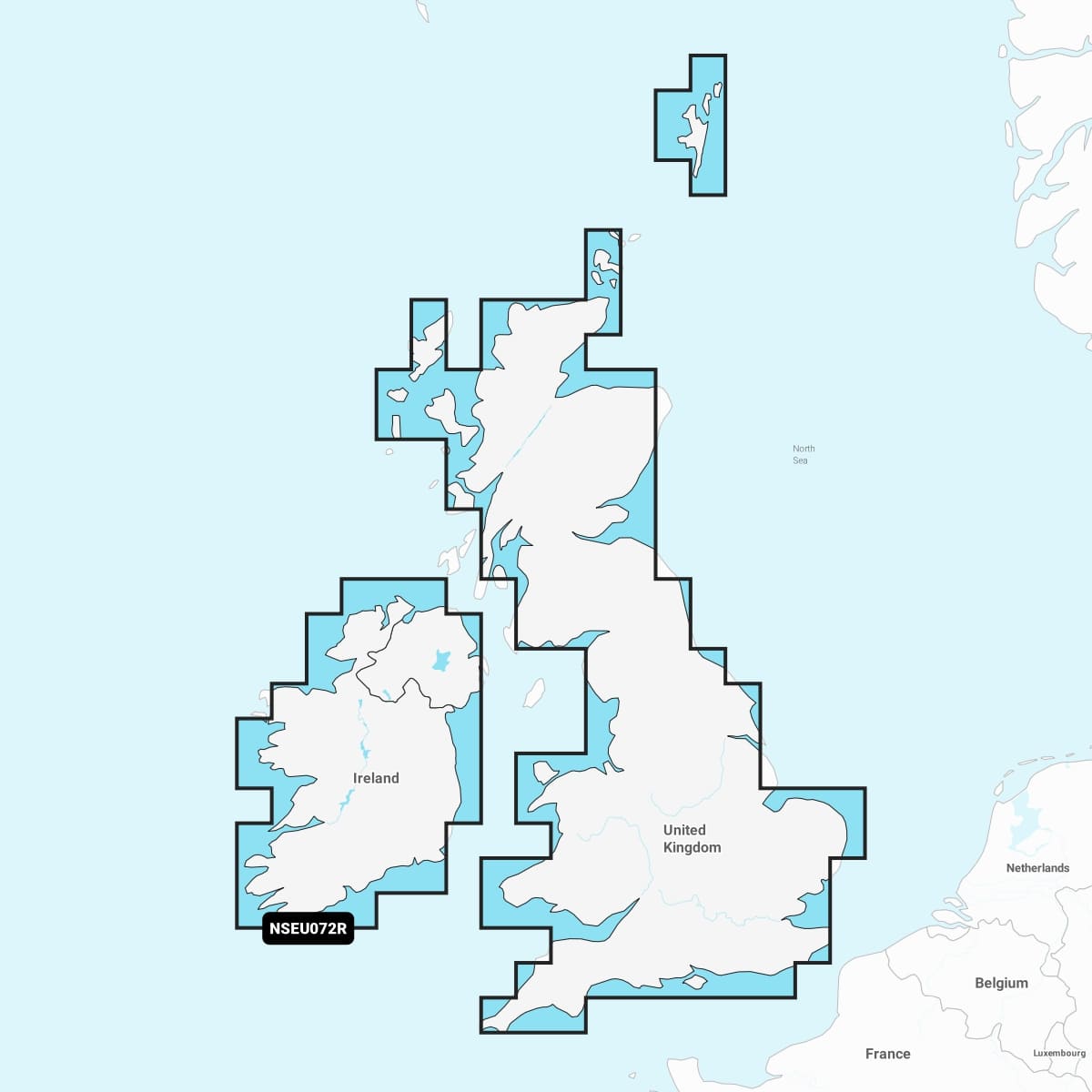
Garmin Navionics+™ – NSEU072R | microSD™/SD™
Detailed coverage of major lakes and rivers of the UK and Ireland. Coverage includes the Thames, Medway, Mersey, Avon and Tweed Rivers in the UK and the Shannon River in Ireland. Lake coverage includes Lock Ness, Loch Lochy and Lough Neagh in the UK.
IT’S A WHOLE NEW LOOK ON YOUR CHARTPLOTTER
Featuring vibrant colours, a streamlined interface, and combined coastal/inland content with a popular Navionics® style colour palette, Garmin Navionics+ cartography makes it easy to plot your course with the world’s No. 1 name in marine mapping.