
Description
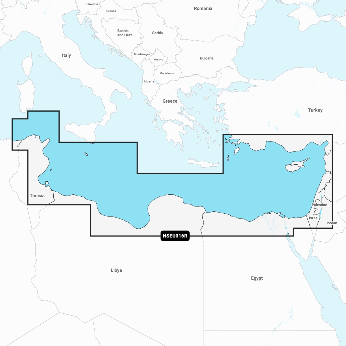
Garmin Navionics+™ – NSEU016R | microSD™/SD™
Coastal coverage of the eastern Mediterranean coast from Tunis, Tunisia to Antalya, Turkey including the Levant, the Suez Canal, Cyprus and Malta. Ports include Tripoli, Libya; Alexandria and Port Said, Egypt and Beirut, Lebanon.
IT’S A WHOLE NEW LOOK ON YOUR CHARTPLOTTER
Featuring vibrant colours, a streamlined interface, and combined coastal/inland content with a popular Navionics® style colour palette, Garmin Navionics+ cartography makes it easy to plot your course with the world’s No. 1 name in marine mapping