
Description
Navionics Platinum+™ – NPEU064R | microSD™/SD™
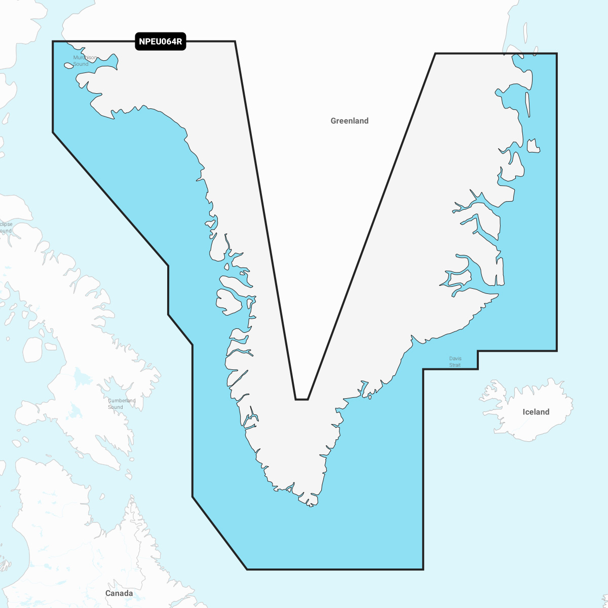
Detailed coverage of the coast of Greenland from Thule (Qaanaaq) on the west coast around the southern tip of Greenland to Germania Land on the east coast. Also details Ikerasak, Holsteinsborg (Sisimiut), Godhavn (Qeqertarsuaq), Godthab (Nuuk), Julianehåb (Qaqortoq), Jameson Land, Ammassalik and Nanortalik.
INTEGRATED MAPPING FOR A WIDE RANGE OF CHARTPLOTTERS
A comprehensive, all-in-one solution, Navionics+ charts and maps combine clear, reliable coastal/inland content with advanced guidance features and compatibility with a wide range of chartplotter brands.