
Description
Navionics Platinum+™ – NPEU060R | microSD™/SD™
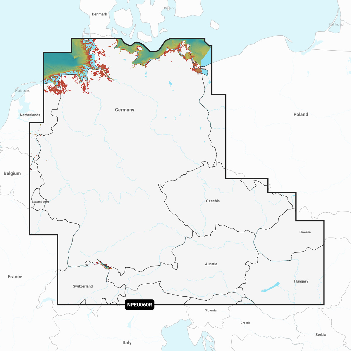
Detailed coverage of the German North Sea and Baltic coast, the German inland waterway system and numerous lakes. Coverage includes the entirety of the Rhine River, the Main River to Bamberg, the Danube River to Budapest, the Saar River, the Moselle River to Metz, France; the Ems River, the Weser River, the Elbe River to Chvaletice, Czech Republic, the Vltava River to Trebenice, Czech Republic, the Havel River, the entirety of the Rhine-Main-Danube Canal, the Oder-Havel Canal, the Elbe-Havel Canal, the Elbe-Seiten Canal, the Müritz, the Kiel/Lübeck/Flensburg Canal, the Mittelland Canal, Lake Constance, Lake Zurich, Lake Balaton and numerous other lakes including the Chiemsee,
INTEGRATED MAPPING FOR A WIDE RANGE OF CHARTPLOTTERS
A comprehensive, all-in-one solution, Navionics+ charts and maps combine clear, reliable coastal/inland content with advanced guidance features and compatibility with a wide range of chartplotter brands.