
Description
Garmin Navionics+™ – NSEU074R| microSD™/SD™
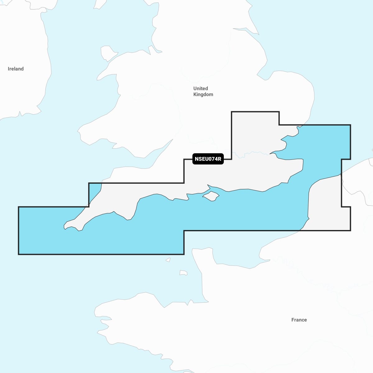
Detailed coverage of the south coast of the UK from Felixstowe to the Isles of Scilly and the coast of France from Dunkirk to Le Treport. Coverage includes the River Thames to Windsor, the Isle of Wight and the ports of London, Dover, Portsmouth, Southampton and Plymouth in the UK and Calais, France.
IT’S A WHOLE NEW LOOK ON YOUR CHARTPLOTTER
Featuring vibrant colours, a streamlined interface, and combined coastal/inland content with a popular Navionics® style colour palette, Garmin Navionics+ cartography makes it easy to plot your course with the world’s No. 1 name in marine mapping