
Description
Navionics Platinum+™ – NPEU063R | microSD™/SD™
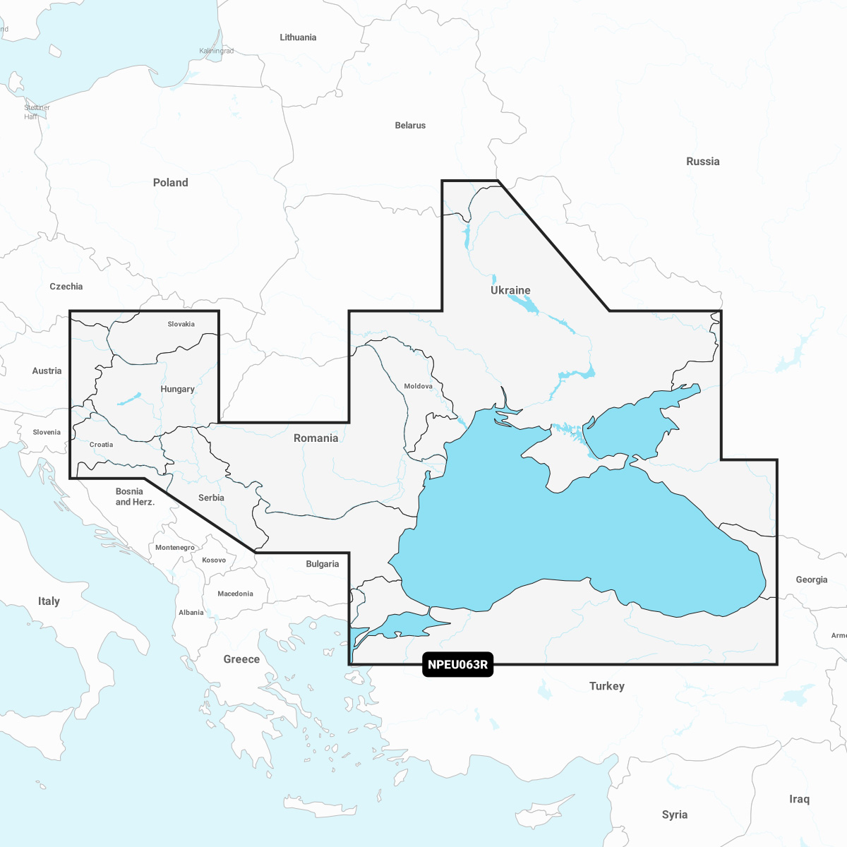
Detailed coverage of the Dardanelles, the Sea of Marmara, the Bosporus Strait, the Black Sea, the Dnieper River to the Belarus/Ukrainian border, the Bug River to Nikolayev, the Kuban River to Krasnodar, the Danube River from its Vienna to its delta, the Sava River, the Danube – Black Sea Canal, Lake Balaton, Lake Ferto, the Tisa River to Lake Tisza and the Sea of Azov. Detailed coverage includes Varna, Constanta, Odessa, Nikolayev, Sevastopol, Mariupol, Taganrog, Temryuk, Novorossiysk, Batumi, Hopa, Samsun, Eregli, Istanbul and Canakkale.
INTEGRATED MAPPING FOR A WIDE RANGE OF CHARTPLOTTERS
A comprehensive, all-in-one solution, Navionics+ charts and maps combine clear, reliable coastal/inland content with advanced guidance features and compatibility with a wide range of chartplotter brands.