
Description
Navionics Platinum+™ – NPEU644L | microSD™/SD™
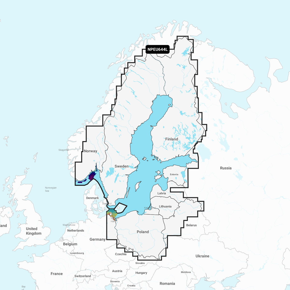
Detailed coverage of the Baltic Sea and lakes of Scandinavia and Poland. Coverage includes the Gulfs of Bothnia, Finland and Riga; the Masurian Lakes in Poland, the Szczecin Lagoon, Lake Peipus; Lakes Mjøsa, Bandak and Norsjø in Norway; Lakes Vänern, Vättern, Siljan and Storavan in Sweden; Inarijarvi, Miekojarvi, Simojarvi, and Kiantajarvi in Finland among many others. Ports include Oslo, Norway; Malmo and Stockholm, Sweden; Oulu and Helsinki, Finland; St Petersburg and Kaliningrad, Russia; Gdansk, Poland.
INTEGRATED MAPPING FOR A WIDE RANGE OF CHARTPLOTTERS
A comprehensive, all-in-one solution, Navionics+ charts and maps combine clear, reliable coastal/inland content with advanced guidance features and compatibility with a wide range of chartplotter brands.