
Description
Navionics Platinum+™ – NPPC015L | microSD™/SD™
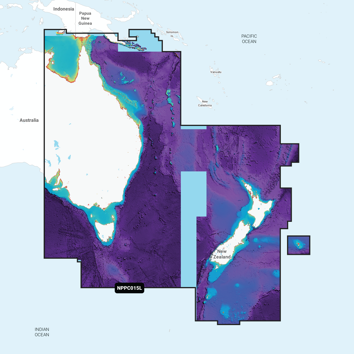
Detailed coverage of the coast of Australian from The Gulf of Carpentaria to Adelaide. Also includes Christmas Island and the Cocos (Keeling) Islands. Ports include Darwin, Perth and Adelaide.
INTEGRATED MAPPING FOR A WIDE RANGE OF CHARTPLOTTERS
A comprehensive, all-in-one solution, Navionics+ charts and maps combine clear, reliable coastal/inland content with advanced guidance features and compatibility with a wide range of chartplotter brands.