Description
Garmin Navionics+™ – NSAF630L | microSD™/SD™
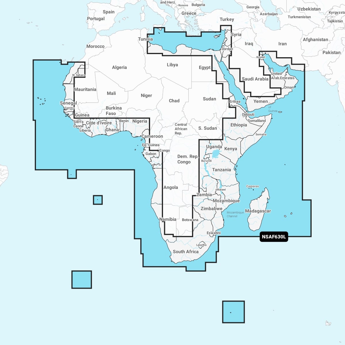
Coastal coverage of the coast of Africa from Tripoli, Libya thru the Red Sea and around the Cape to Dakar, Senegal including the Suez Canal and the Levant, the coast of the Arabian Peninsula, the Persian Gulf, Madagascar, Socotra, Zanzibar, Reunion, Mauritius, the Seychelles, the Comoros, the Prince Edward Islands, Tristan de Cunha, St Helena Island, Ascension Island, the Cape Verde Islands, Malta and Cyprus. Coverage of ports such as Alexandria, Egypt; Djibouti; Manama, Bahrain; Dubai; Cape Town, South Africa and Lagos, Nigeria are included.
IT’S A WHOLE NEW LOOK ON YOUR CHARTPLOTTER
Featuring vibrant colours, a streamlined interface, and combined coastal/inland content with a popular Navionics® style colour palette, Garmin Navionics+ cartography makes it easy to plot your course with the world’s No. 1 name in marine mapping.

