Welcome to

Let us expertly guide you on all you need to know about Navionics charts and Garmin Marine Cartography. 

Popular Chart areas

Charts compatible with plotters from B&G®, Furuno®, Humminbird®, Lowrance®, Raymarine®, Simrad® and more.

Charts compatible for GPSMAP® and Echomap™ chartplotters

Navionics Updates cards

GET VALUABLE UPDATES FOR YOUR DAY ON THE WATER

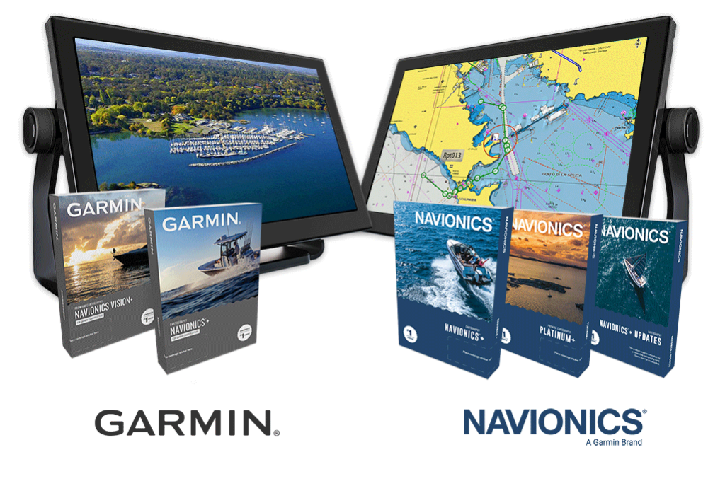
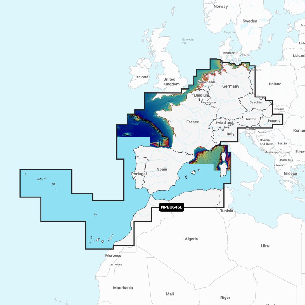
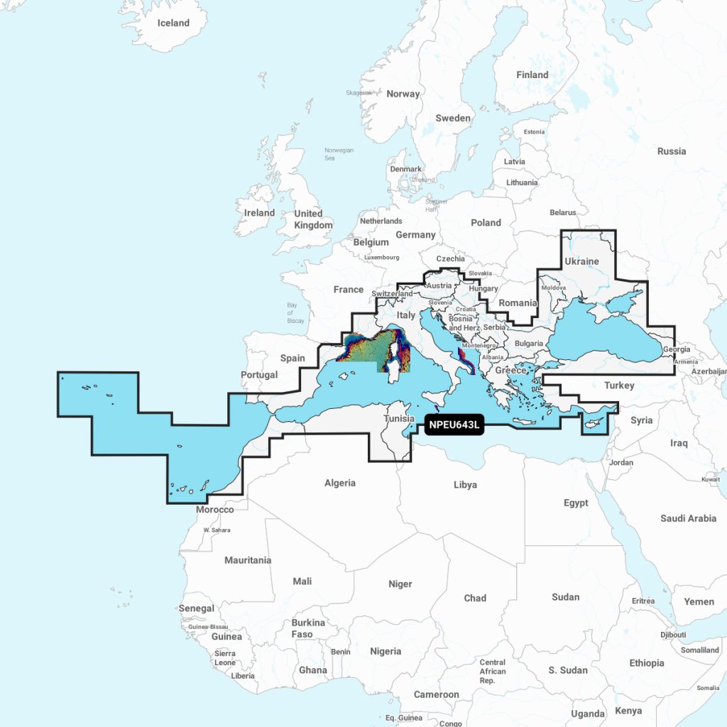
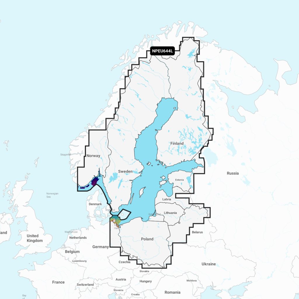
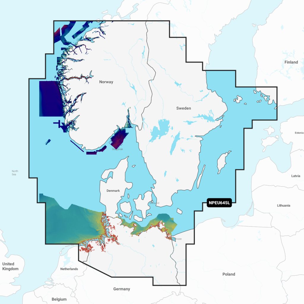
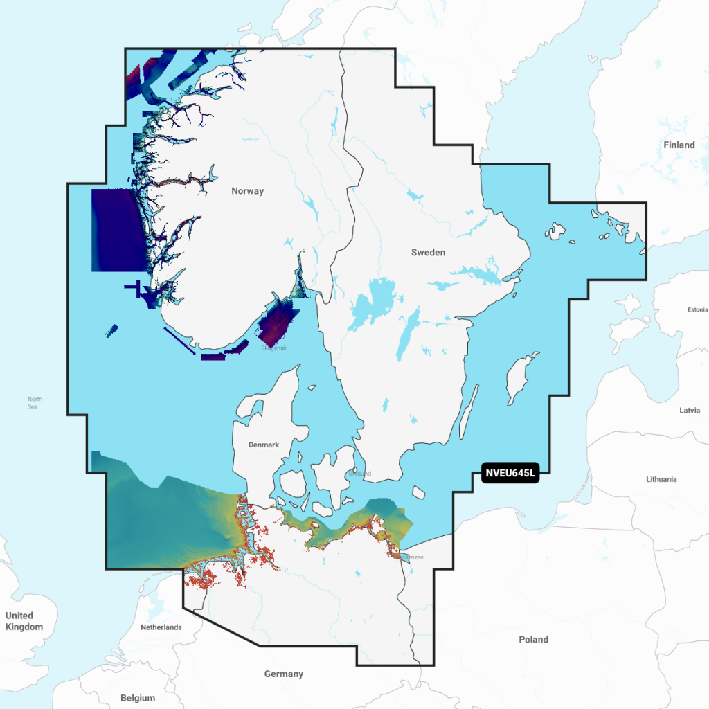
Head out with confidence, knowing you have the latest data on your marine charts. Navionics improve the cartography daily with new public and private data sources, proprietary surveys and notices to mariners — so you have up-to-date shorelines, depths, onshore POIs, buoys, lights, obstacle locations and more.

 Features

  • Plan routes, waypoints and marks
  • Calculates course to steer & optimum departure time using embedded tides in Navionics charts 
  • Display Navionics Platinum+ overlays – Including Relief Shading
  • View present and future tides
  • Supports route and waypoint transfer to Raymarine, Lowrance, B&G, Simrad and Humminbird plotters

GET IN TOUCH FOR HELPFUL ADVICE

Navionics+ & Platinum+

Garmin