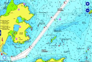
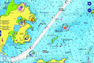
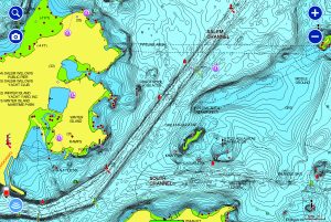
Head out with confidence, knowing you have the latest data on your marine charts. Navionics improve the cartography daily with new public and private data sources, proprietary surveys and notices to mariners — so you have up-to-date shorelines, depths, onshore POIs, buoys, lights, obstacle locations and more.
How do I update my chart?
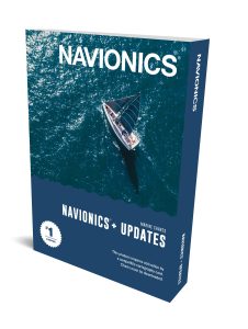
Buy a NAVIONICS+ UPDATES CARD
A simple and cost effective card created for owners of old or expired cards, the Navionics+ Updates GPS plotter card allows boaters to download the most up-to-date Navionics+ chart content via the Chart Installer. It is activated using an eligible card from Navionics or one from another brand, such as C-MAP, Lowrance, or Magellan.
Other options available only via the Chart Installer. If unsure, call us for further guidance.